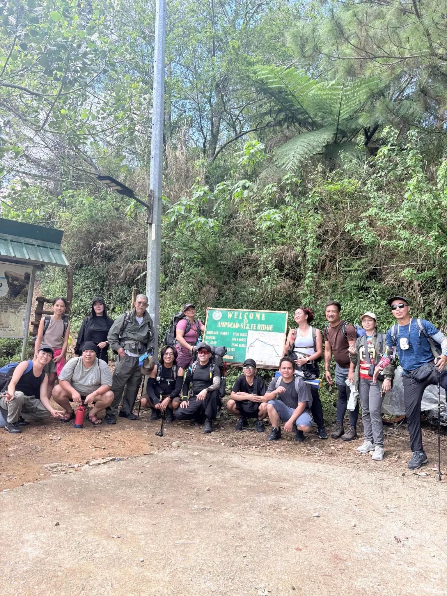
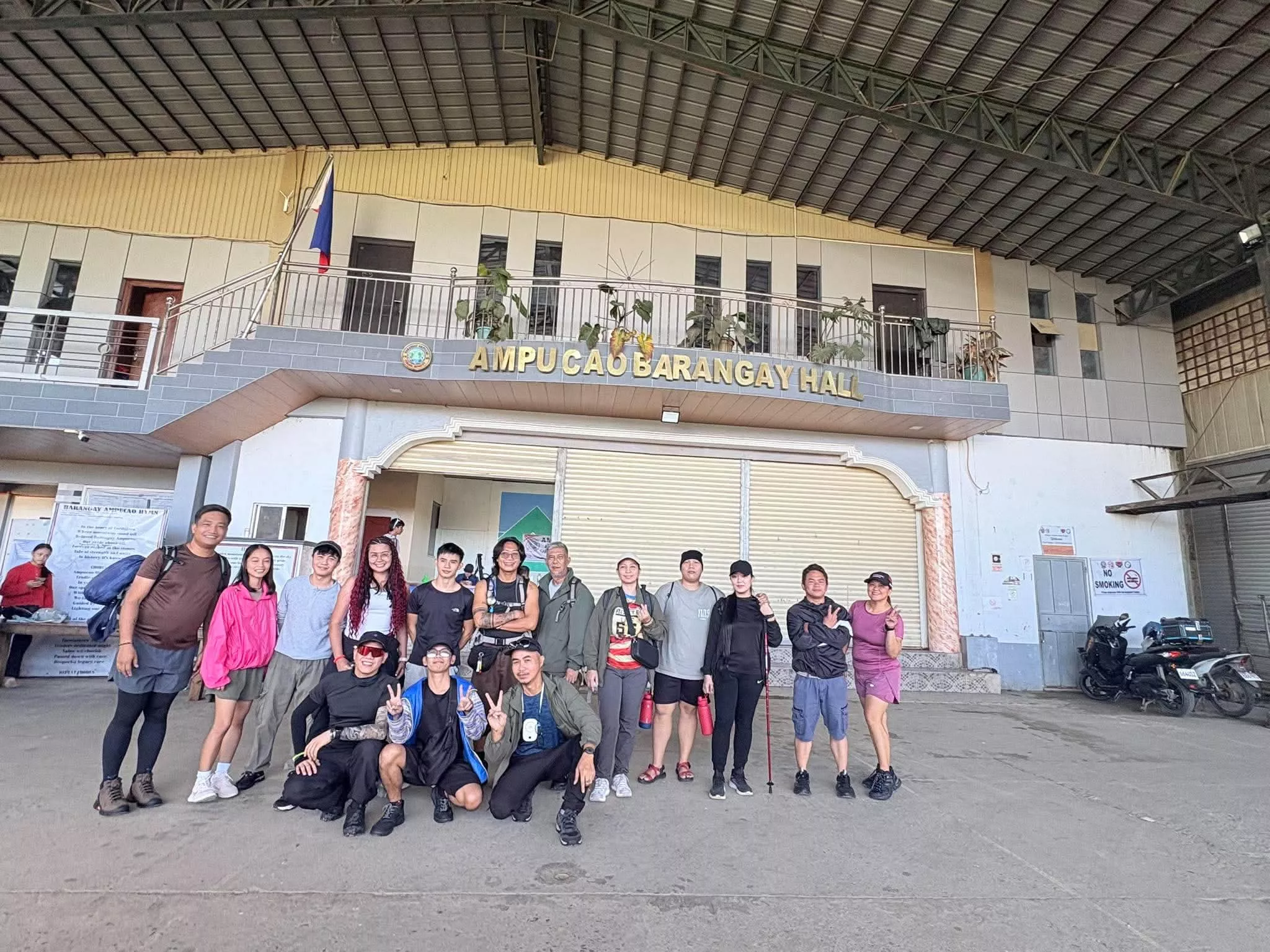
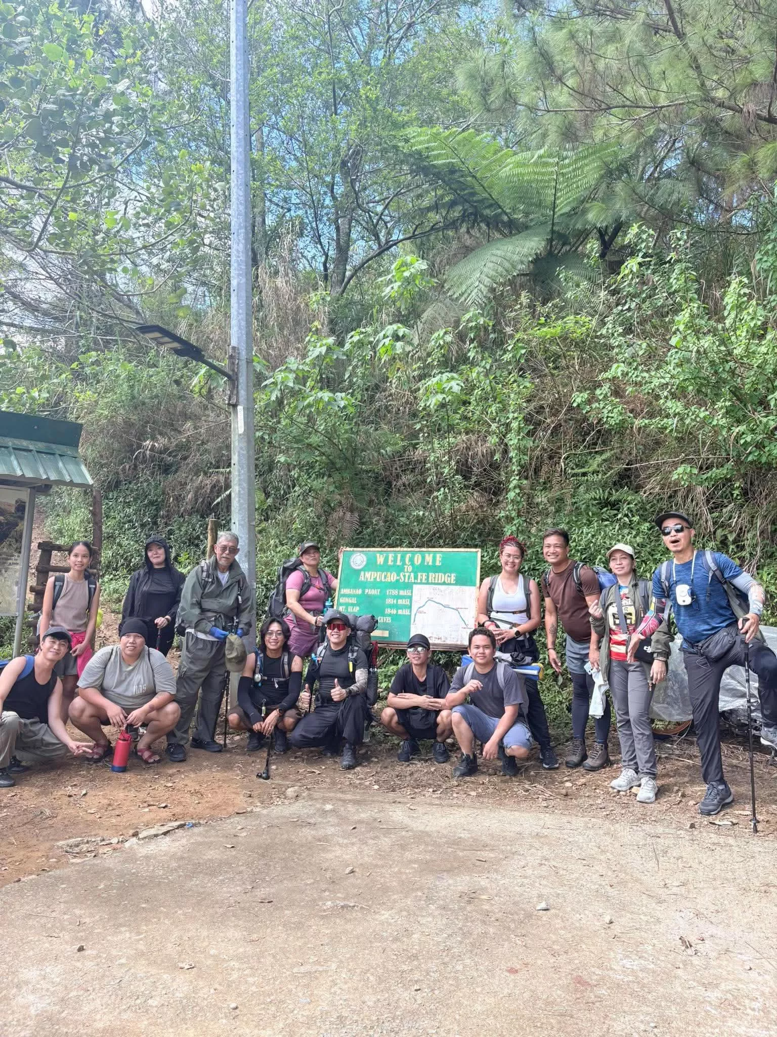
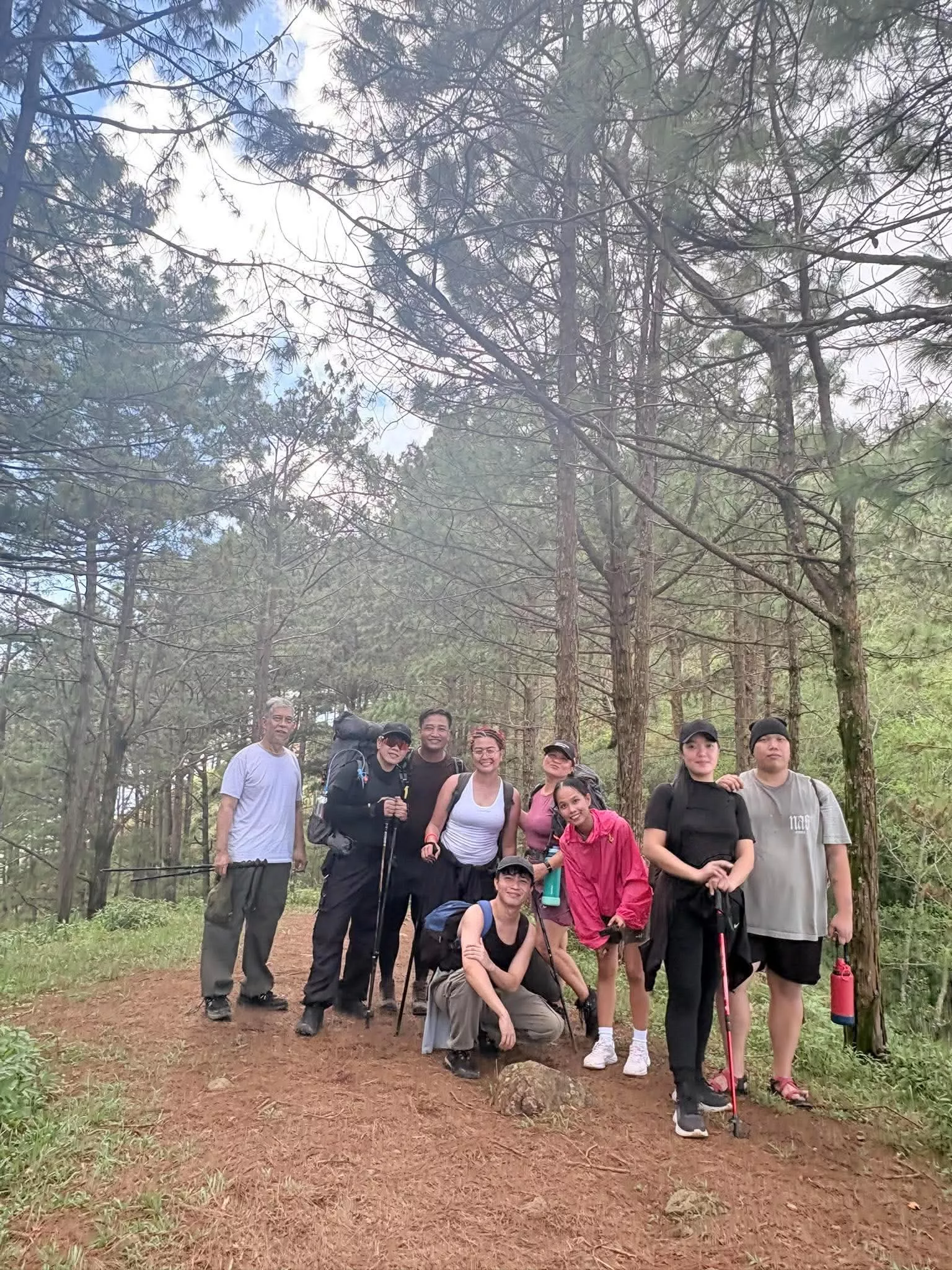
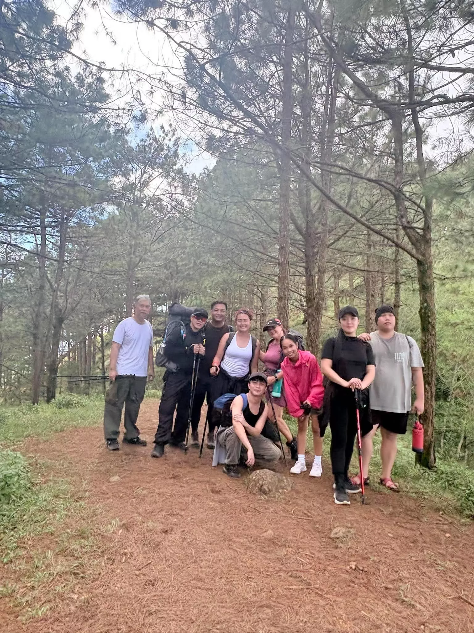
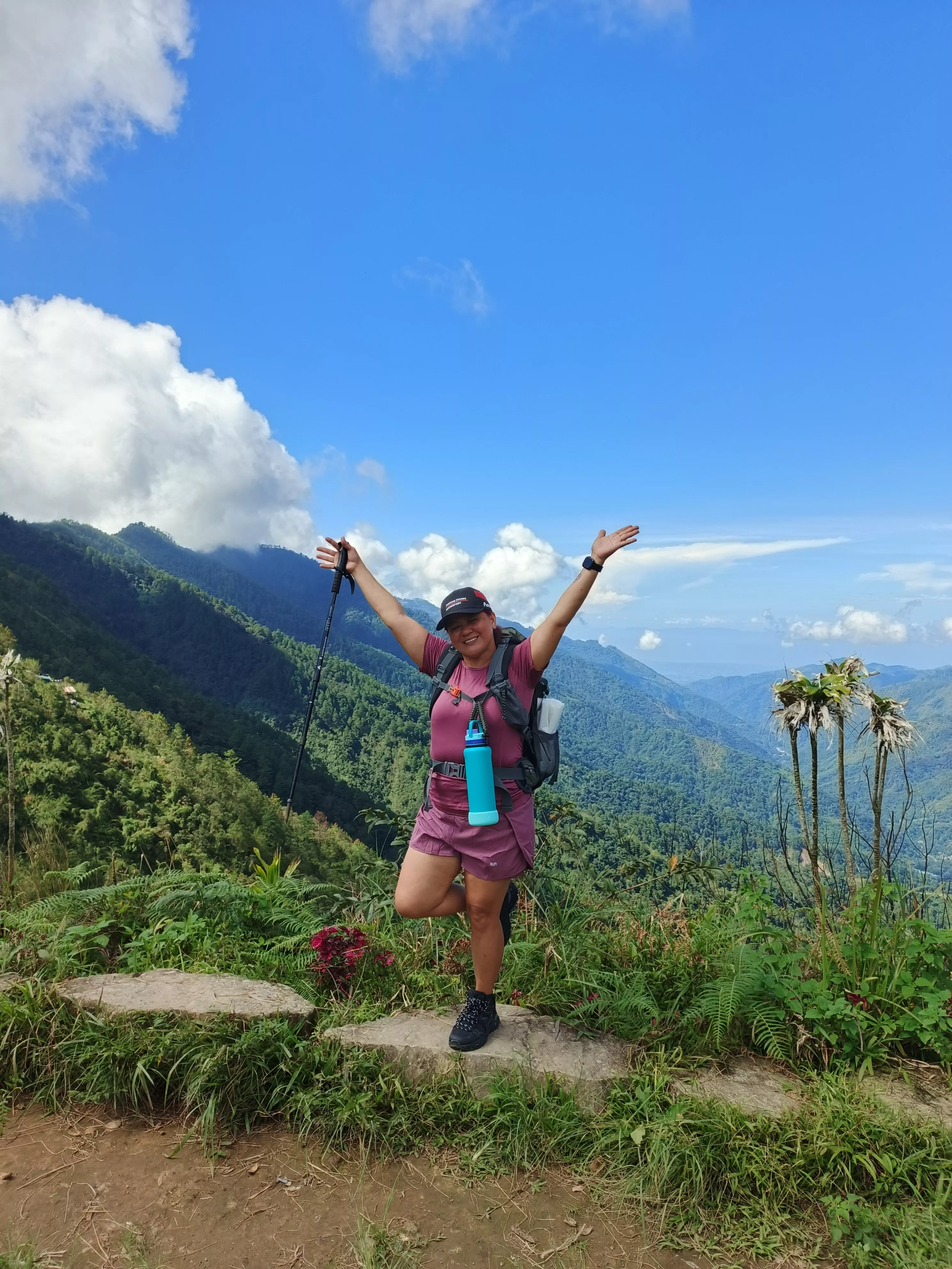
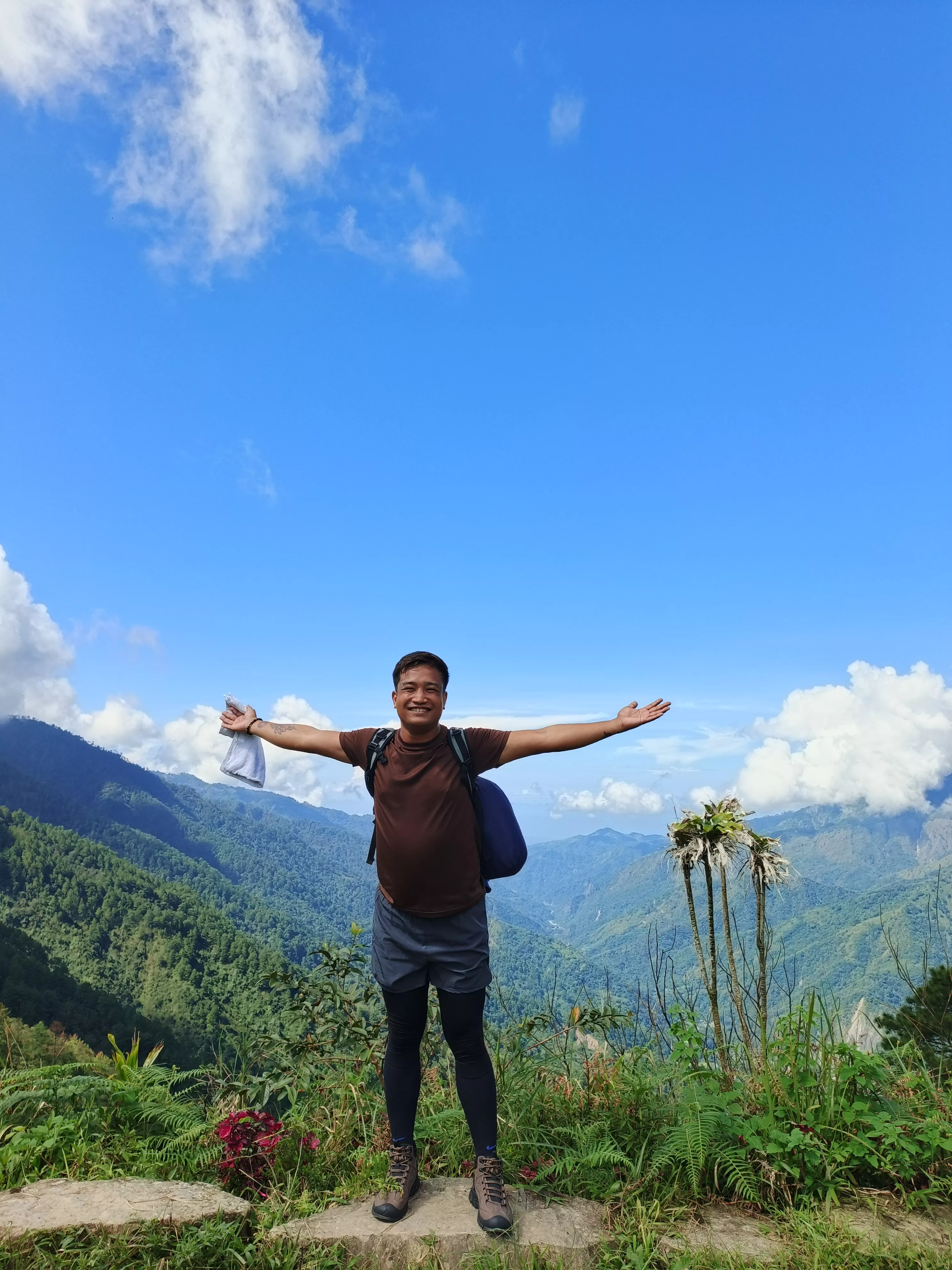
Mt. Ulap is the highest point of the Ampucao–Sta. Fe ridge in Itogon, Benguet, about 40 to 45 minutes by road from Baguio; its name refers to the clouds that reach its summit. The ridge route covers roughly 8 to 9 km of pine and grass ridges, burial caves and hanging bridges, crossing Ambanao Paoay (1,788 m) and Gungal Rock (1,814 m) before the summit. Gungal Rock is its best-known viewpoint and draws queues on weekends; the trail was once part of the TNF 100 route.