Skip to content
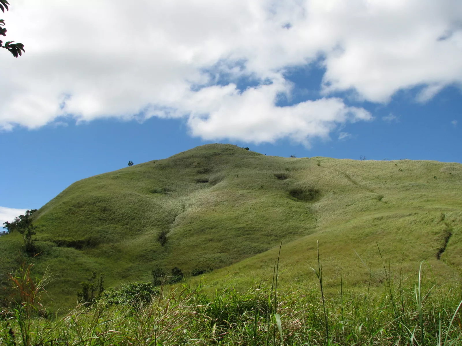
Photo: アブサン · CC BY-SA 3.0

Mt. Tagapo

Also called Mt. Susong Dalaga

Height
410 m
Usually
Day hike
Climbs logged
2
Climbers
2
Difficulty 2/9 (2/9 · Easy)

Mt. Tagapo is the highest point of Talim Island in Laguna de Bay, an island split between Binangonan and Cardona, Rizal, and reached by pump boat from Binangonan. Talim was once a stratovolcano and now forms part of the Laguna caldera; the mountain's name comes from 'taga', to chop, after the bamboo the islanders cut. The summit gives a full circle of views over Laguna Lake, the Makati and Ortigas skylines, Makiling, Sembrano and the Sierra Madre, and it gets very hot in summer.

No one has reported whether it’s open. Check with the local office before you go.

Log in to report a change

Climbing it

  1. Brgy. Janosa Trail

    Difficulty 2/9 · Minor (2/9 · Easy)
    • Jump-off in Binangonan
    • 2.5 hours to the summit
    • usually Day hike
    • Back trail
    • Guide required (₱500)
    • Registration ₱20

    Fees as of Mar 2026

Nothing from climbers yetClimbed it? Give it stars, and say how hard it was and how long.

Log your climb

From hikers

Log in to join in.

Where its facts come from

Its history
  1. Mt. Tagapo (438+)

    PinoyMountaineer · Gideon Lasco · Aug 9, 2007

    Backs: Name, Description, Other names

  2. Mount Tagapo

    Wikipedia · Wikipedia contributors

    Backs: Name, Height, Description, Other names, Provinces

  3. Mt. Tagapo

    OpenStreetMap contributors

    Backs: Height, Summit on the map

  4. Mt. Tagapo Talim Island Binangonan Rizal Climb Guide (Itinerary + Tips)

    Hike to Mountains · Jun 3, 2022

    Backs: Height, Description

  5. Philippine Standard Geographic Code

    Philippine Statistics Authority

    Backs: Provinces

  6. Talim Island

    Wikipedia · Wikipedia contributors

    Backs: Description