Skip to content
Photo: Biag arnel · CC BY-SA 4.0

Mt. Talamitam

Height
630 m
Usually
Day hike
Climbs logged
3
Climbers
3
Difficulty 3/9 (3/9 · Mild)

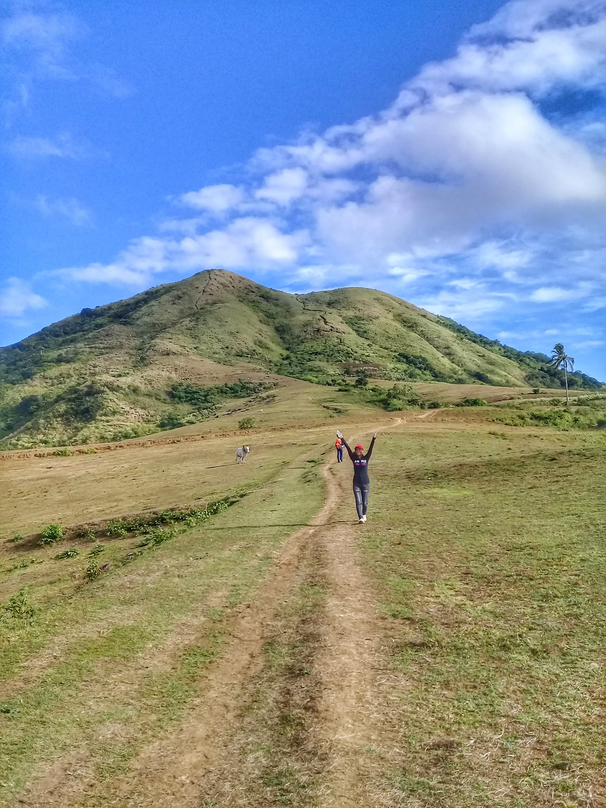
Mt. Talamitam is a 630 m mountain in Nasugbu, Batangas, climbed from Sitio Bayabasan, Brgy. Aga, and takes its name from talamitam trees that once covered its slopes. Now bald and grassy, with rehabilitation under way, it offers little shade, and the last 100 m climbs at up to 60 degrees through talahib grass. The top looks over Batulao, Pico de Loro, Makiling and the Lubang Islands, and hikers often pair it with Mt. Batulao or nearby Mt. Apayang.

No one has reported whether it’s open. Check with the local office before you go.

Log in to report a change

Climbing it

  1. Brgy. Aga Trail

    Difficulty 3/9 · Minor (3/9 · Mild)
    • Jump-off in Nasugbu
    • 2 hours to the summit
    • usually Day hike
    • Back trail
    • Guide required (₱500)
    • Registration ₱20

    Fees as of Dec 2022

Nothing from climbers yetClimbed it? Give it stars, and say how hard it was and how long.

Log your climb

From hikers

Log in to join in.

Where its facts come from

Its history
  1. Mt. Talamitam (630+)

    PinoyMountaineer · Gideon Lasco · Aug 14, 2007

    Backs: Name, Description

  2. Mt. Talamitam Dayhike Guide (Itinerary + Tips)

    Hike to Mountains · Feb 10, 2022

    Backs: Name, Height, Description

  3. Mt. Talamitam

    OpenStreetMap contributors

    Backs: Height, Summit on the map, Description

  4. Philippine Standard Geographic Code

    Philippine Statistics Authority

    Backs: Provinces