Skip to content

Mt. Homan

Also called 宝満山, Homanzan, Mikasayama, Kamadoyama

Range: Chikushi Mountains

Fukuoka, Japan · International climbs in Japan

Pesos are approximate, at rates from Exchange Rate API.

Height
830 m
Usually
Day hike
Climbs logged
1
Climbers
1
Difficulty 5/9 (5/9 · Moderate)

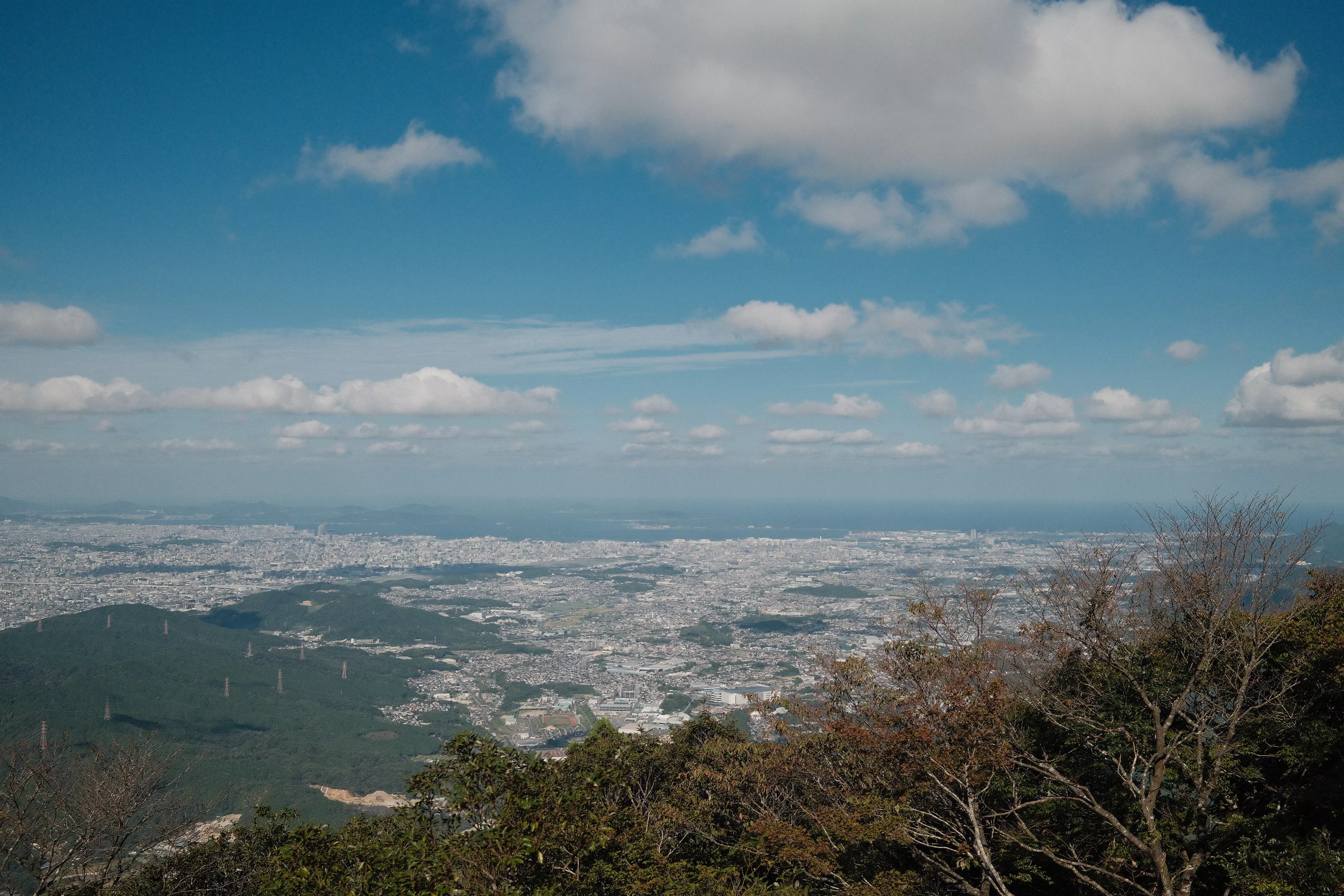
Mt. Homan is a 829.6 m peak in Fukuoka Prefecture, straddling Chikushino and Dazaifu. It is in the Chikushi Mountains and is counted among the peaks of the Sangun range. A ridge path runs from here north towards Mt. Sangun.

No one has reported whether it’s open. Check with the local office before you go.

Log in to report a change
Climbing it

  1. Kamado Jinja–Homan–Sangun Ridge Trail

    Difficulty 5/9 · Major (5/9 · Moderate)
    • Starts at Kamado Jinja
    • usually Day hike
    • Back trail

What climbers said

How hard they found it from 1 climber

Easy
0
Moderate
1
Hard
0
Very hard
0

5 photos

  • Photo 1 of 5, of Mt. Homan
  • Photo 2 of 5, of Mt. Homan
  • Photo 3 of 5, of Mt. Homan
  • Photo 4 of 5, of Mt. Homan
  • Photo 5 of 5, of Mt. Homan

From hikers

Log in to join in.

Jesse James Superales climbed

Kamado Jinja–Homan–Sangun Ridge Trail

Trail · Mt. Sangun, Mt. Homan · Japanon Oct 2

Felt moderate Open that day

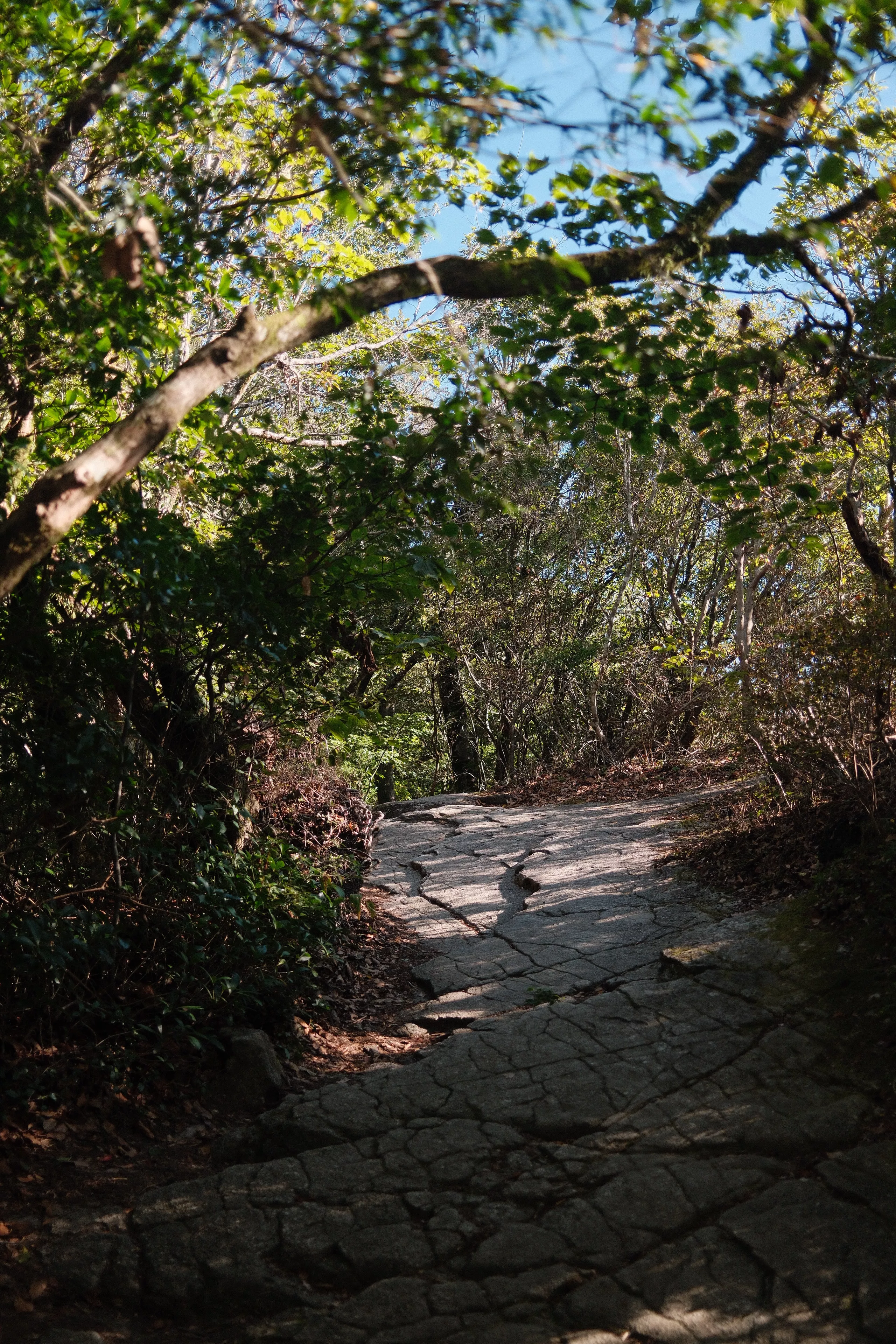
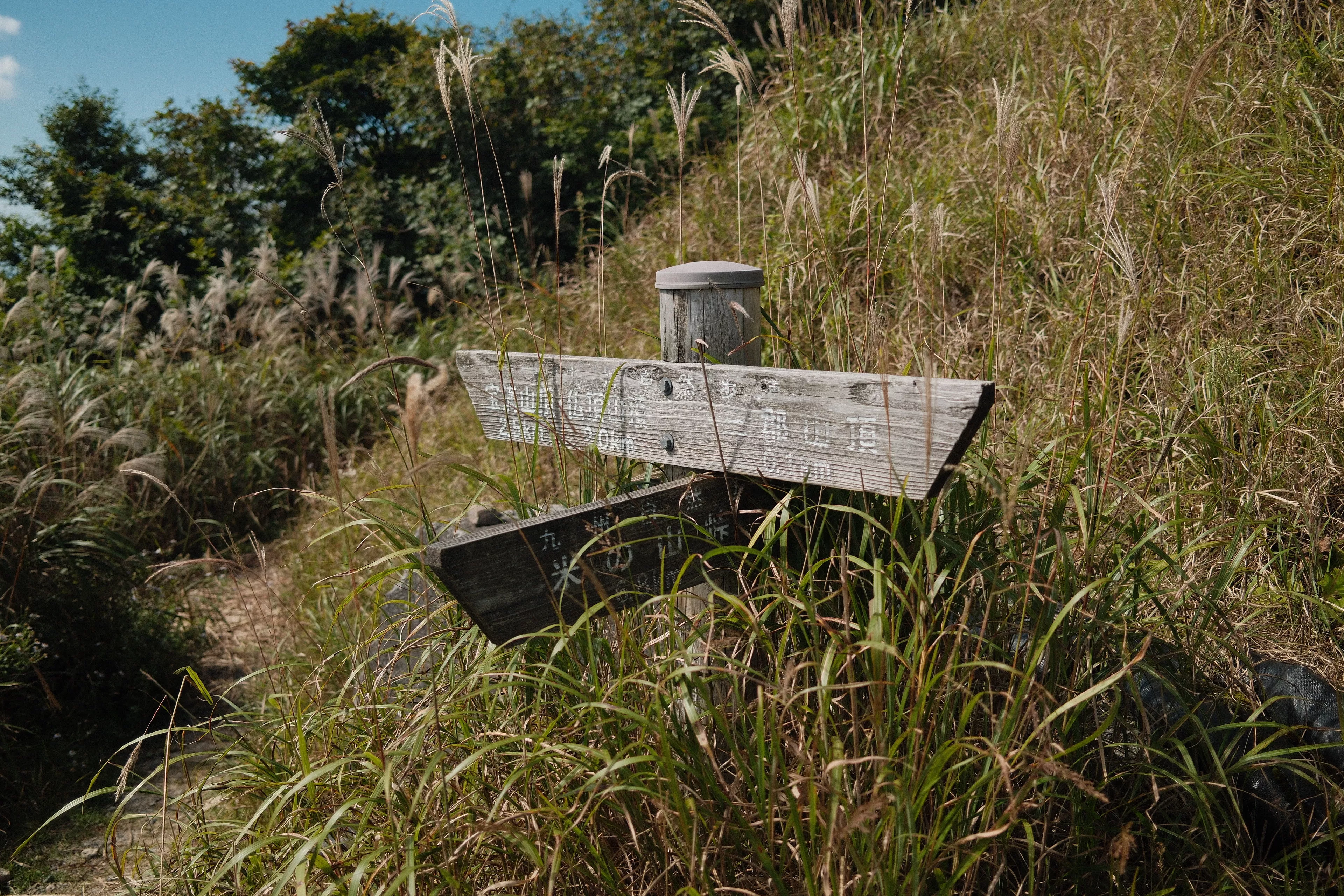
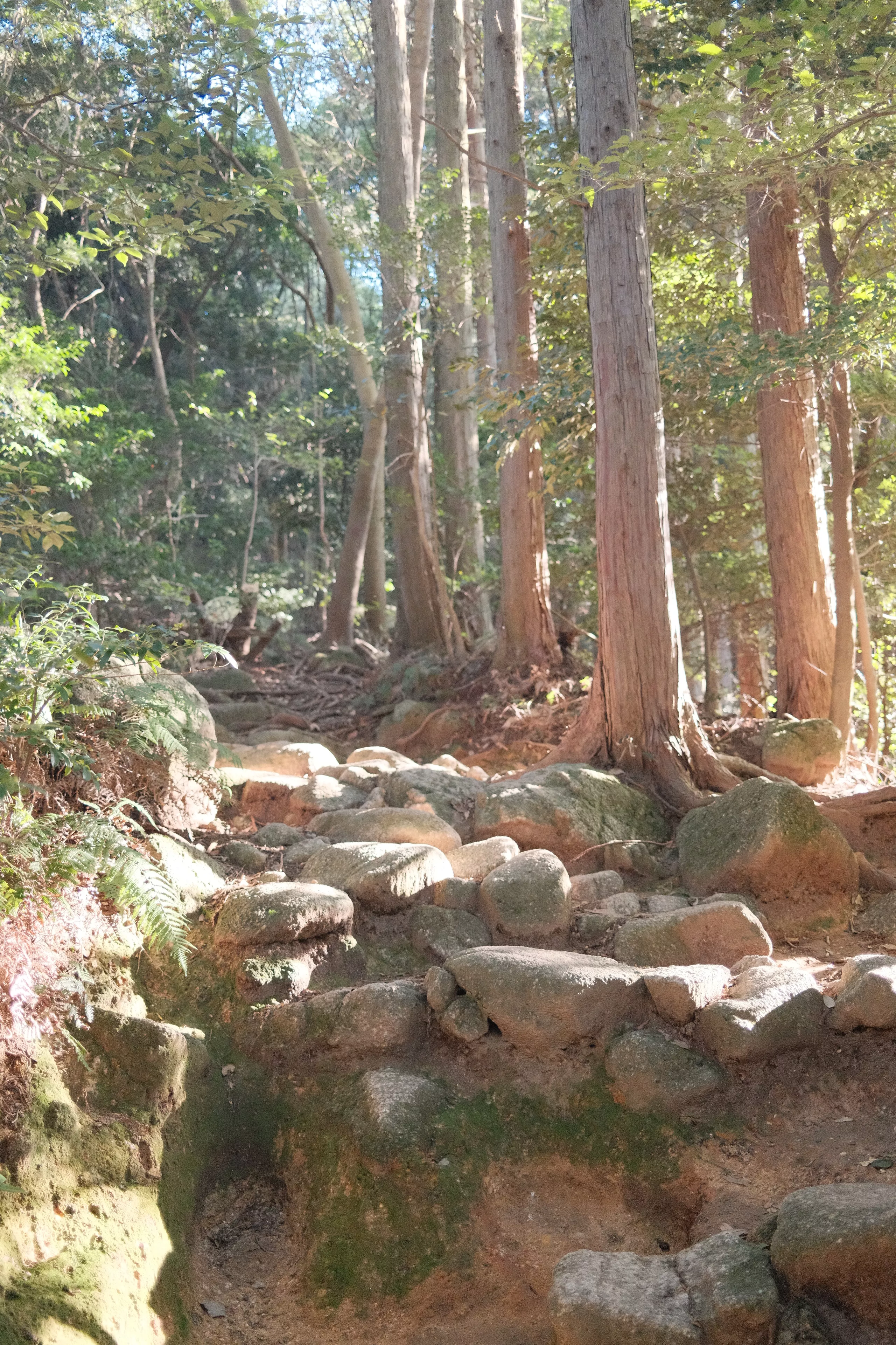
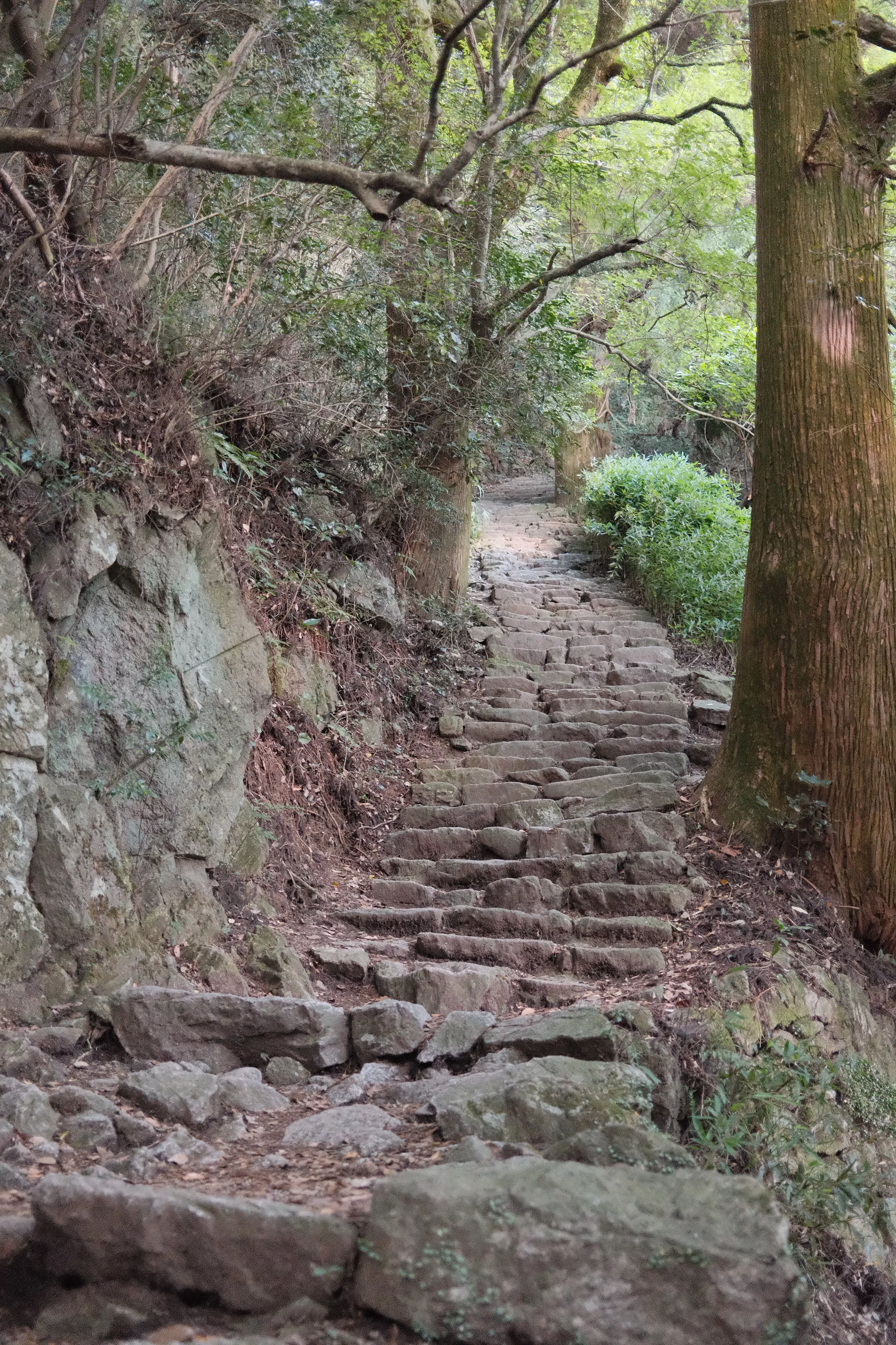
Twin hike via Mt. Homan. The hike towards Mt. Homan was an endless stairs master of high rocks and logs. Steep ladder climb to the Homan peak and scrambling downwards. The hike from Homan to Sangun was fun and trail run-able.

Score 2

Where its facts come from

Its history
  1. OpenStreetMap node 1239463704, Mt. Homan

    OpenStreetMap

    Backs: Name, Height, Summit on the map

  2. 宝満山

    Wikipedia

    Backs: Areas, Range, Other names, Description

Kept up by akyat.app moderator