Skip to content

Kamado Jinja–Homan–Sangun Ridge Trail

5.0from 1 climber

Fukuoka, Japan · International climbs in Japan

Pesos are approximate, at rates from Exchange Rate API.

Also on Mt. Homan

Starts at Kamado Jinja

Difficulty 5/9 · Moderate 5–9 hours with some scrambling, or any long trek of hiking.

Major climb · Back trail · Hiking, Scrambling

Usually
Day hike
Climbs logged
1
Climbers
1
Water
YesWater points along the Homan front route, including the third station and near the Camp Center; boil or filter before drinking.

Watch out for

  • Chain sections and steep descents on Homan
  • Slippery after rain or snow

Open.

Reported Nov 1, from a climb on Oct 2

Log in to report a change

Where it is

No route mapped yet. Directions

Climbers’ stars

5.0

from 1 climber

  • 5 stars1climbers
  • 4 stars0climbers
  • 3 stars0climbers
  • 2 stars0climbers
  • 1 star0climbers

5 photos

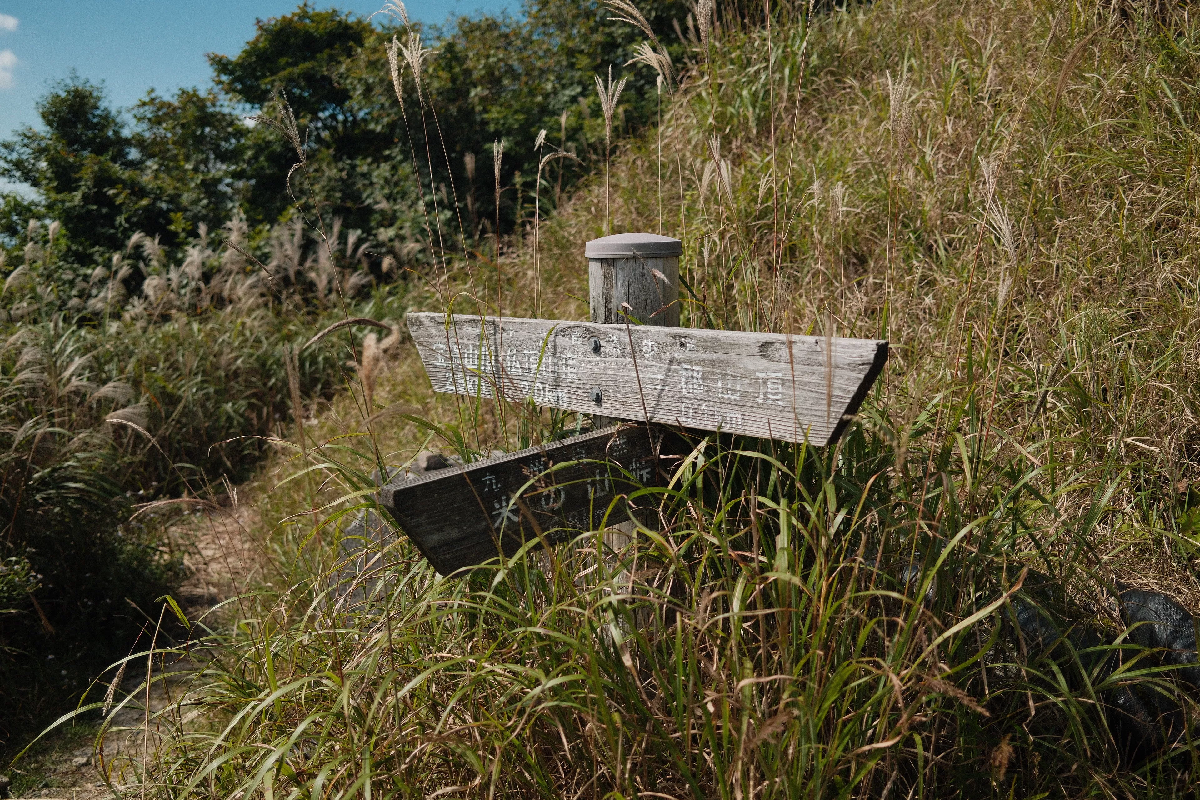
  • Photo 1 of 5, of Kamado Jinja–Homan–Sangun Ridge Trail
  • Photo 2 of 5, of Kamado Jinja–Homan–Sangun Ridge Trail
  • Photo 3 of 5, of Kamado Jinja–Homan–Sangun Ridge Trail
  • Photo 4 of 5, of Kamado Jinja–Homan–Sangun Ridge Trail
  • Photo 5 of 5, of Kamado Jinja–Homan–Sangun Ridge Trail

From hikers

Log in to join in.

Jesse James Superales climbed

Kamado Jinja–Homan–Sangun Ridge Trail

Trail · Mt. Sangun, Mt. Homan · Japanon Oct 2

Felt moderate Open that day

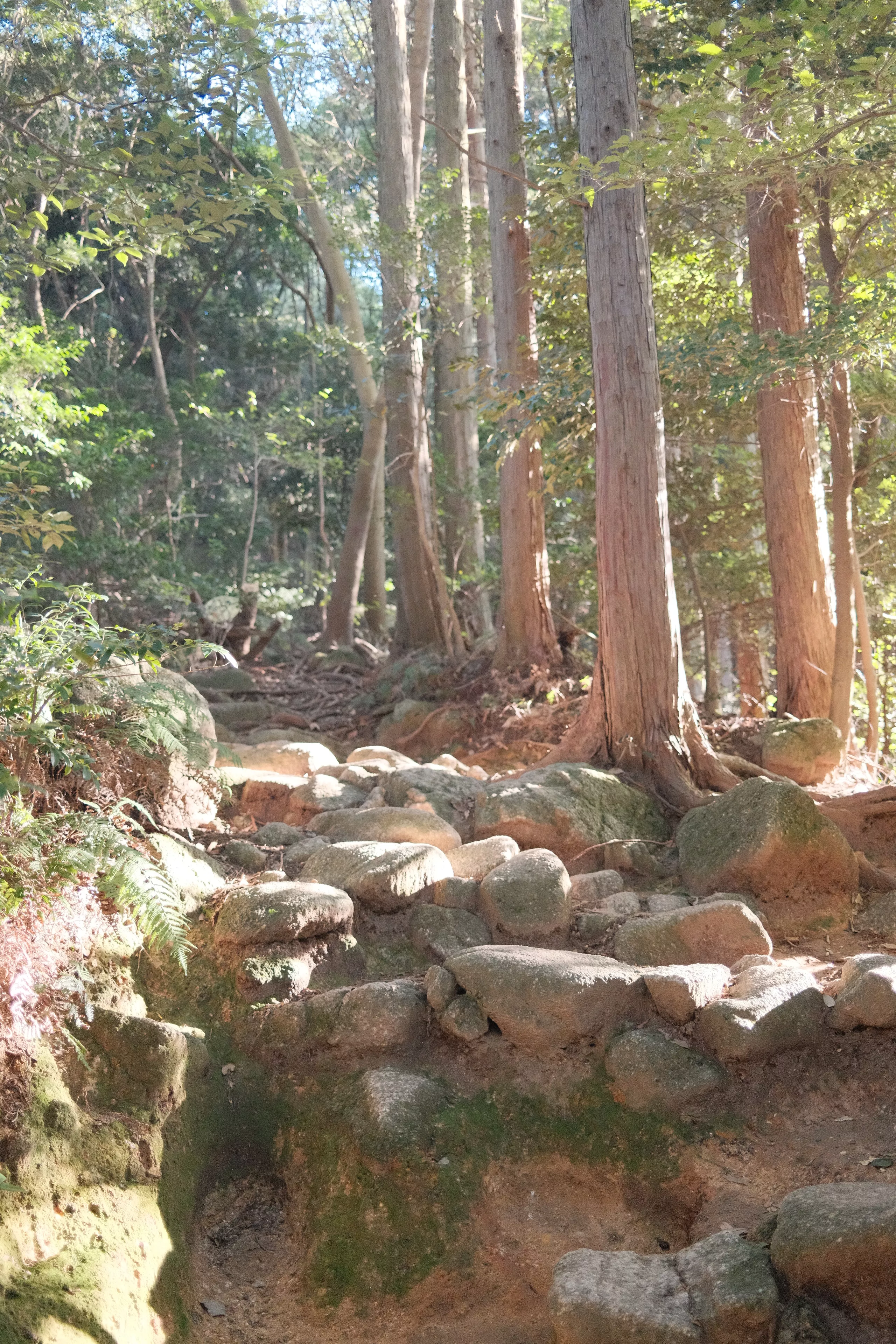
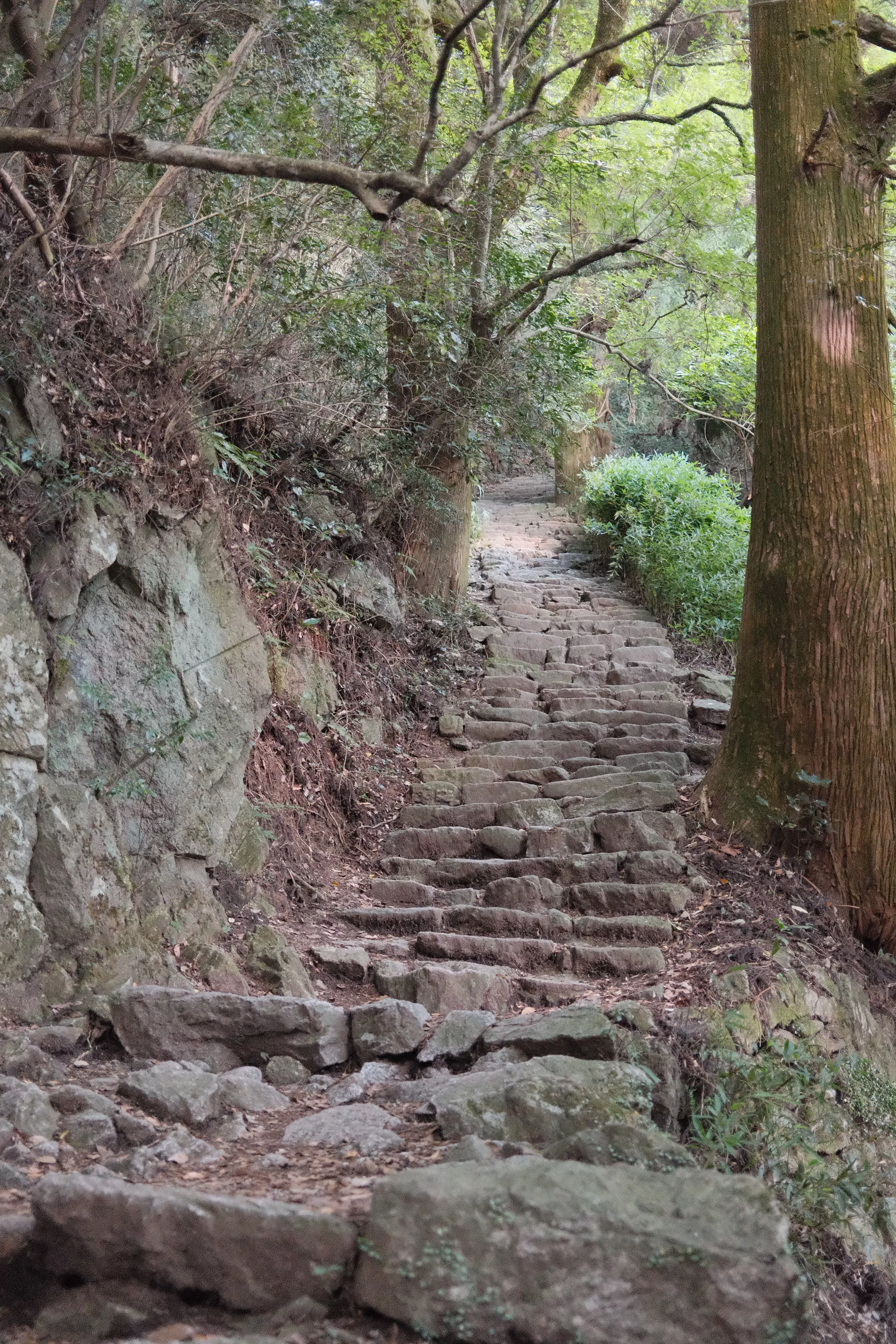
Twin hike via Mt. Homan. The hike towards Mt. Homan was an endless stairs master of high rocks and logs. Steep ladder climb to the Homan peak and scrambling downwards. The hike from Homan to Sangun was fun and trail run-able.

Score 2

Where its facts come from

Its history
  1. 三郡山 - YAMAP

    YAMAP

    Backs: Name, Mountains, How it runs, Difficulty, Terrain, Major or Minor, Days, Hazards

  2. 宝満山 - YAMAP

    YAMAP

    Backs: Jump-off, Water

  3. OpenStreetMap way 1180032939, Kamado Jinja

    OpenStreetMap

    Backs: Jump-off

Kept up by akyat.app moderator